Browse Items (13 total)
- Tags: County: Grand
Sort by:
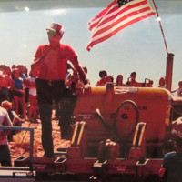
Sagebrush Rebellion in Grand County
When local officials in southern Utah's Grand County declared independence from the federal Bureau of Land Management in 1980, they took rhetoric of small government and individual freedom to a whole new level.
On July 4th, 1980 hundreds gathered…
Tags: County: Grand, Date: 1945-1990, Land, Politics
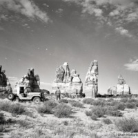
The Canyonlands Controversy
Canyonlands is more than just Utah’s third national park. Its designation in 1964 occurred after a fight over who exactly public lands are meant for.
In the late 1950s, the National Park Service began assessing lands for a new national park in the…
Tags: County: Grand, Date: 1945-1990, Land, Politics, Tourism
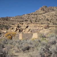
Ghost Towns: Dewey
There are only three roads in Utah that bridge the Colorado River, and only a handful of crossings. The ghost town of Dewey is one of those places and early settlers of the region made good use of this crossing.
Getting across the Colorado River is…
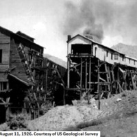
Ghost Towns: Sego, a Coal Town with a Colorful Past
Down a bumpy canyon road in the Book Cliffs of southeastern Utah, curious travelers can find the ghost town of Sego. Named for Utah’s state flower, it’s a dusty coal town with a colorful past.
The canyon where the ghost town of Sego sits has been…
Tags: County: Grand, Date: 1900-1920, Industry, Mining
Ghost Towns: Cisco
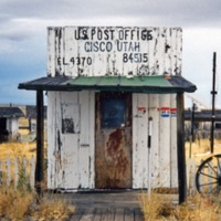
A former railroad and ranching hub, the tiny settlement of Cisco became a ghost town after highway travel through the remote area was rerouted. But is Cisco still a ghost town today?
On the eastern edge of Grand County, a few miles south of…
In This Little Town of Ours, We Have a Literary Club
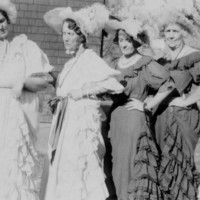
In 1928, a women’s club in Moab adopted an official song that crowed: “In this little town of ours, we have a literary club, and we derive from it everything good, it helps the town and public in numerous ways.” Learn more about these women and…
Tags: Art, County: Grand, Date: 1900-1920, Women
Salt Wash at Wolfe Ranch: Life Before Fame at Delicate Arch
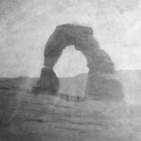
Travelers from all over the world come to hike Utah's famous Delicate Arch. But they often overlook the rich history of the humble log cabin sitting at its trailhead.
Delicate Arch is a famous part of Utah’s landscape, featured on gift shop coffee…
Tags: Agriculture, County: Grand, Date: 1850-1900, Settlement, Tourism, Water
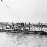
Division & Connection: The Green River Crossing
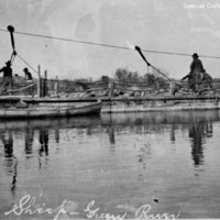
The Green River is a major physical divide in eastern Utah, yet it is also a lifeline for drinking water, agriculture, and recreation. Learn how the River has been a barrier and a bridge for one community along its banks.
In the arid West, water is a…
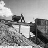
Uranium Stories
Those who journeyed to Moab during the uranium mining boom that swept Utah in the 1950s and 1960s changed the tiny town forever. When the Atomic Energy Commission wanted uranium in the late 1940s, its guarantee to purchase whatever could be found…
Tags: County: Grand, Date: 1945-1990, Industry, Land
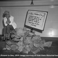
Steen’s Folly: Utah’s Frenzied Uranium Boom
A frenzied uranium boom swept up southern Utah in the 1950s. The boom had a long term impact on the health of countless miners.On July 6, 1952, a down-on-his-luck uranium prospector named Charlie Steen made a major strike near Moab, Utah. His…
Tags: County: Grand, Date: 1945-1990, Mining, Work
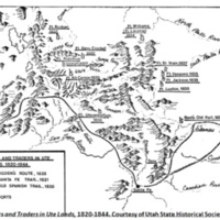
The Old Spanish Trail
Utah’s position as a social and cultural crossroads of the west began well before European settlement. Native trading and war parties gave way to Spanish exploration throughout the territory along the Old Spanish Trail.Utah’s always been a…
Tags: County: Grand, Date: Pre-1800, Exploration, Land
The Town that Couldn't Keep its Name
A Grand County mining town that changed its name three times in less than thirty years.More than a century ago, the town of Ballard, in central Grand County, began to sprout up around a coal mine. The town, which took its name from Henry Ballard, the…
Tags: County: Grand, Date: 1900-1920, Land, Mining, Work
Early Moab
White missionaries struggled to create a permanent settlement in Moab. They faced armed resistance from the local Ute tribe and abandoned their efforts until nearly 1875.In 1855, the first white settlers of the region around Moab left Salt Lake City…
Tags: County: Grand, Date: 1850-1900, Settlement

