Utah Stories from the Beehive Archive

Browse Items (34 total)

  • Tags: Settlement

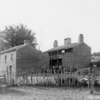
Pipe_Springs_Natl_Monument_p_03.jpg
Who owns common sources of water? As Mormons began to spread south throughout Utah Territory in the 1850s, conflict over watering holes in the desert turned deadly. In the arid Utah desert, one resource takes priority over all others: water. When a…

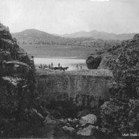
Enterprise_Dam_p_3.jpg
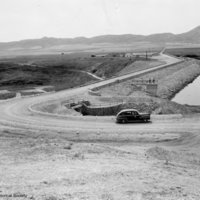
The Enterprise Dam in Utah's Washington County is an amazing example of how early Mormon settlers mastered the waters of the harsh desert using community effort. But did you know the process of building it was bursting with controversy and deluged…

IMG_7242.JPG
While it may seem like an isolated, desolate desert island, Antelope Island in Utah's Great Salt Lake has been an important source of fresh water for humans going back thousands of years. If you were stranded alone on a deserted island, what’s one…

143A49A2-BBCC-DCEF-D05023B466175585.jpg
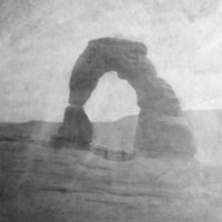
Travelers from all over the world come to hike Utah's famous Delicate Arch. But they often overlook the rich history of the humble log cabin sitting at its trailhead. Delicate Arch is a famous part of Utah’s landscape, featured on gift shop coffee…

service-pnp-ppmsca-18000-18041v.jpg
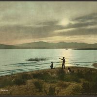
Utah Lake was once an important and abundant source of fish and wildlife for the Timpanogos Ute people. But by the turn of the twentieth century, Utah Lake’s native fish species had almost completely vanished. Prior to Mormon settlement in 1849,…

Joe_s_Valley_Reservoir_P_1.jpg
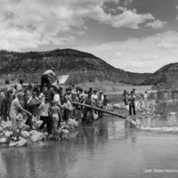
Stocking Utah’s waterways with sport fish is a practice that goes back more than a century – so long ago that many people may think these introduced species are native. Find out how this impacts Utah’s true native fishes. Setting up beside a…

Peart_Jacob_Inscription_P_2.jpg
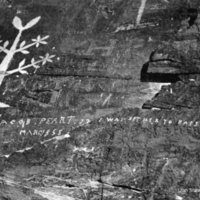
Southern Utah’s unreliable Virgin River prevented settlers from achieving their dream of taming the land to grow cotton. Believing they could “make the desert blossom as the rose,” Mormon settlers expanded into southwestern  Utah in the 1850s…

Newton_Dam_P_2.jpg
In the late 19th century, the town of Newton, Utah was almost abandoned. Crops died, there was no water for animals or people… So how did the town survive?  Settled in 1869 on the broad plain of Utah's Cache Valley, the fledgling town of Newton…

Gilbert story_lakebonneville00gilb_0169.jpg
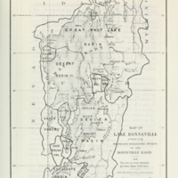
Here in arid Utah, our terminal lakes are so sensitive that even small-scale nineteenth-century agriculture produced measurable changes. Find out how early geologist Grove Karl Gilbert calculated this delicate balance. Although short on rainfall,…

Paiute_Indians.jpg
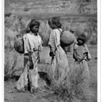
Who has a right to water? How you answer that question likely reflects your cultural concept of water ownership. It’s no surprise that ideas about how to fairly allocate this precious resource vary wildly – both today, and in the past. It's…

Old Scraggen Drawing IMG_3967 16Wx17_6 300dpi.jpg
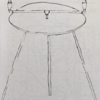
Making use of the Sevier River for agriculture required some ingenuity after early Mormon settlers discovered that irrigation was more complicated than simply digging a ditch. Learn how an unconventional surveying tool nicknamed “Old Scraggen”…

Screen Shot 2021-08-23 at 11.43.11 AM.png
Do you know about the mysterious food poisoning that gave Box Elder County’s Malad River its name?Throughout the nineteenth century, Northern Utah’s Malad River was the site of a mysterious illness affecting fur trappers. Rumors about the water…

Pottery_p_4.jpg
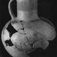
The historic settlements underneath Willard Bay were submerged twice - first by years of dirt, dust, and debris and then again by a flooded reservoir.Buried under the Willard Bay reservoir on the northeast end of Great Salt Lake is not one but two…

Grafton_Utah_p_1.jpg
When Mormon pioneers tried to settle along the banks of the Virgin River, raging waters kept them from getting too comfortable. Learn about the ghost town of Grafton and its losing battle with the River. Utah has little regular rainfall, so…

Screen Shot 2021-04-13 at 12.50.16 PM.png
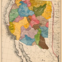
A map of the United States is a familiar sight in Utah’s classrooms. But if we had listened to one of America’s most visionary scientists more than one hundred years ago, Utah’s state borders would look totally different today. Maps shape how…

Mormon_Trail___P_22.jpg
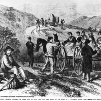
The belief that there was no future for the LDS Church in the East motivated the Mormon exodus West, to the far side of the Rocky Mountains.  But how did the Mormons know where they were going?   The Mormon migration that began in 1847 has…

John C Fremont.jpg
Explorer John Charles Fremont’s belief in “Manifest Destiny” paved the way for Western migration. By the early 1840s, US leaders in favor of Western expansion lobbied for better surveys of the territory and reliable maps.  The US government…

iosepa.jpg
The voyage of Hawaiian Islanders to the windswept desert of Skull Valley could only have happened in Utah.   Once established in Utah in 1847, the Mormon Church drew thousands of new converts who came to build a new home in “Zion.”  By the…

Crossing of Fathers.jpg
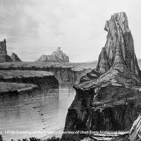
One of the goals of the Dominguez-Escalante expedition was to find a northern route to the Spanish missions in Monterey, California from the Spanish colonial stronghold of Santa Fe, New Mexico.  Led by two Franciscan friars named Silvestre Velez de…

917a8c9dcb5a60cd70badc0dc387efb2.jpg
In 1899, Ramon Gonzalez, his wife Guadalupe, and his children Romana and Prudencio, left their home in Dixon, New Mexico, to settle in Monticello, Utah. A wagon carried all their household possessions, while a few head of livestock followed on the…
Output Formats

atom, dcmes-xml, json, omeka-json, omeka-xml, rss2